Nature and all the physical laws governing it are too complex to fully grasp, so scientists rely on so called models that simplify reality while staying as accurate as possible. These models focus on key elements, helping study and predict without needing to account for every detail.
Models are being used in AFaktive to understand how trees interact with the surrounding landscape, influencing processes such as infiltration, overland flow and erosion, but also to predict changes in fields where agroforestry is planned or could be introduced.
These models are based on digital elevation models (DEM), which provide a representation of the terrain’s height, typically at a resolution of about 1 meter. While this level of detail is sufficient for large-scale analysis, agroforestry often requires a higher resolution to capture the fine details of the topography.
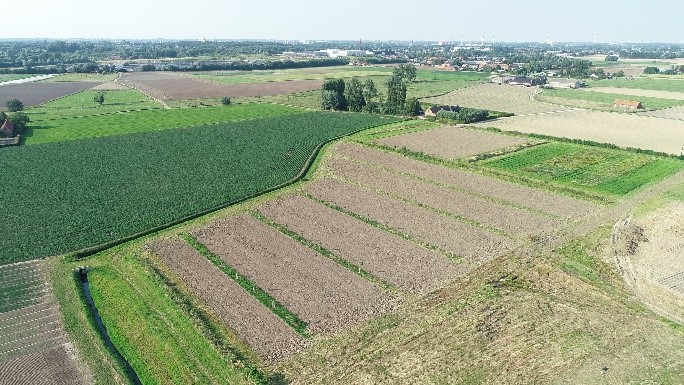
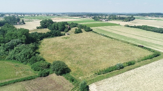
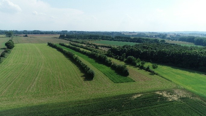
To improve the accuracy of these models, drone flights were carried out over several Belgian project sites in June 2024. Among the sites were two fields with agroforestry systems and two fields without any trees. Each flight involved thorough preparation off- and on-site, which typically took between one to three hours to ensure optimal conditions for data collection. This planning included assessing weather conditions, mapping flight paths, and ensuring the drone was properly calibrated for accurate measurements.
The data collected through these flights enables the creation of digital elevation models with a fine resolution of about 5 cm. By integrating this detailed surface data, the models become more effective tools for studying and visualizing the agroforestry systems. In addition, the drone flights provided an opportunity to capture stunning images and videos of the fields, as illustrated below.


Copyright pictures: Institut für Technologietransfer an der Hochschule für Technik und Wirtschaft des Saarlandes gem. GmbH (©FITT)
